Precise property intelligence. More informed decisions.
Our high-resolution aerial imagery, data and software help unlock the insights you need to make smarter decisions. Whether you’re quoting potential policyholders, planning policy renewals, or validating claims, we help you decide with confidence.

Ultra-High Resolution Imagery
Access more than 1 billion property images, encompassing 94% of the North American population, through an intuitive web-based viewer.

Accurate Property Measurements
Get comprehensive, automated roof and exterior property measurements with 96% accuracy guaranteed.

Innovative & Intuitive Technology
Unlock the power of AI and automation with aerial imagery to streamline insurance workflows and enable smarter ways of working.
Unlock the Benefits of Eagleview Aerial Imagery
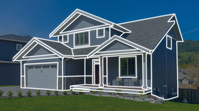
Quickly and easily inspect properties – from anywhere.
Get highly accurate and comprehensive property measurements – including roof, exterior walls measurements, and window/door dimensions – without having to set foot on the property. Create more accurate repair estimates, reduce labor costs, and process more claims, quicker.
Confidently dispatch the right resources, before you go.
Gain access to the property data you need to assign the appropriate resources before heading to a claims site. Our Claims Assignment Service (CAS) provides you with remote access to crucial information like story count, predominant pitch, and eave height, so your team can be prepared to go on-site with the right equipment the first time.
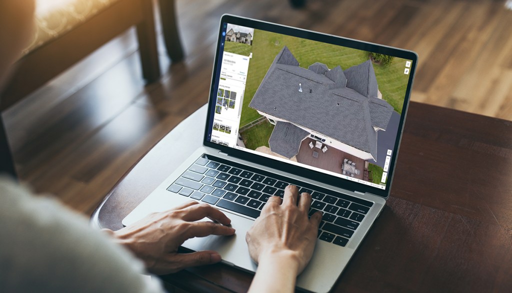
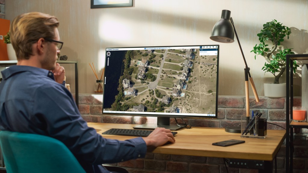
Accelerate insurance workflows with cloud-based technology.
Access the holistic data you need to automate claims processing and improve settlement quality with Eagleview Cloud, our powerful web- based imagery viewer and software platform. Remotely view properties, capture measurements, identify assets of value, and quickly inspect properties before and after a disaster.
DISASTER RESPONSE FOR INSURANCE CLAIMS
When a Disaster Strikes, Rely on Eagleview
Eagleview captures aerial imagery of storm-impacted areas and properties to provide insurance carriers with critical before and after property imagery.

Accelerate post-event claims workflows
Expedite the processing of a higher volume of claims.

Safely plan and start repairs
Easily and quickly assess damage remotely.

Proactively engage with customers
Engage with customers before claims professionals are physically deployed on site.
Customer Success Stories



Bonnie Lee
Vice President Property Claims
“Eagleview and Allstate collaborated successfully, which has allowed us to best serve our customers’ needs.”

Transform your insurance workflows with
Eagleview
Book a demo and discover our solutions for insurance claims and underwriting.